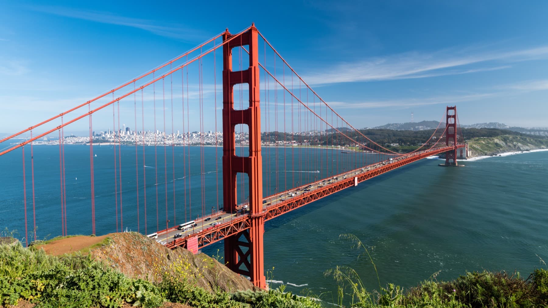
Viewpoint Comparison Matrix (A vs B)
Battery Spencer vs. Hawk Hill vs. Presidio Overlooks.
Elevation dictates whether you shoot above the marine layer or inside a whiteout. Compare elevation, framing, fog resilience, parking, and trail access across all 5 iconic overlooks.
| Overlook | Elevation | Signature Framing | Fog Strategy | Parking Reality | Walk from Car |
|---|---|---|---|---|---|
| Battery Spencer (Conzelman Rd, Marin) | 500 ft (152 m) | Close-up North Tower + full bridge span leading into SF skyline | Best for low fog (<350 ft); blanked out by high marine layer | Free roadside pullout (~28 spaces, fast turnover) | 2-min gravel walk from curb |
| Hawk Hill (Upper Conzelman Rd, Marin) | 923 ft (281 m) | High-altitude aerial panorama of Golden Gate strait & both towers | Stands ABOVE mid-level fog banks (400–650 ft) piercing the towers | Multiple free pullouts along upper one-way loop | 3–5 min paved path through historic tunnel |
| Golden Gate Overlook (Presidio, SF Side) | 180 ft (55 m) | Iconic twin Monterey cypress trees framing the two bridge towers | Moderate fog clearance; ideal for 70–200mm telephoto compression | Large Langdon Court lot (easy parking + ADA access) | 2-min ADA-accessible concrete plaza |
| Fort Point & Crissy Field (Sea Level South) | 15 ft (Sea Level) | Dramatic upward angle directly beneath the southern steel arch | ★★★★★ Best High-Fog Backup (shoots underneath the marine layer) | Ample free lot at Marine Drive / Warmjng Hut | 1-min flat walk along seawall |
| Kirby Cove Beach (Marin North Shore) | Sea Level | Secluded north-shore cove looking up at the bridge profile | ★★★★☆ Sea-level visibility under high fog | Trailhead parking near Battery Spencer (1-mile steep hike down/up) | 25-min hike down (35-min 500-ft climb back up) |